

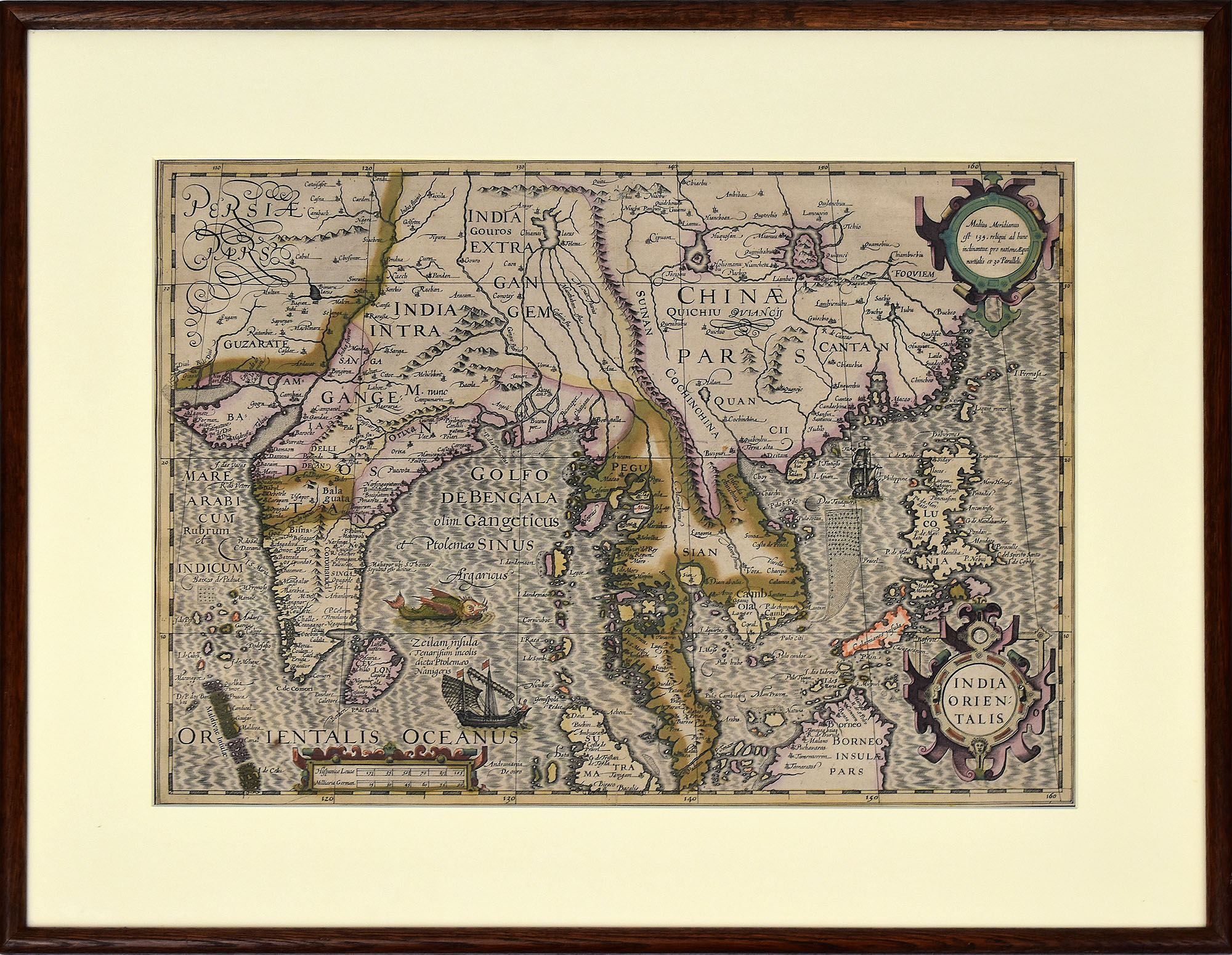
Hondius, India Orientalis. [Altkolorierter Kupferstich, gerrahmt].
€ 2.400,--
Hondius, Jodocus: India Orientalis. [Altkolorierter Kupferstich, gerrahmt]. (Jodocus Hondius, eigentlich Josse de Hondt, geboren am 14. Oktober 1563 in Wakken, Flandern, gestorben am 12. Februar 1612 in Amsterdam. Flämischer Kartograph und Verleger).
Altkolorierte Landkarte (Grenz- und Landschaftskolorierung) von Vorder- und Hinterindien mit den Philippinen, Teilen von Indonesien, Südostasien zwischen Indien und Südchina mit der Mündung des Perlflusses, Kanton und Formosa, die gesamte malaiische Halbinsel, Teile von Sumatra und Borneo und Indochina mit Thailand, Vietnam, Kambodscha. Aus dem Mercator-Hondius Atlas, der ab 1606 von Jodocus Hondius in Amsterdam verlegt wurde.
Zu den ungewöhnlichen Merkmalen dieser Karte gilt die Teilung der südmalaiischen Halbinsel in zwei Hälften, wobei der südliche Teil zu einer Insel südlich von Malakka wird, dort durch einen nordöstlichen Kanal vom Rest der Halbinsel getrennt ist. Ein weiteres ungewöhnliches Merkmal ist der mythische Chiamay-See, hier Chiamai geschrieben, aus dem fünf Flüsse entspringen.
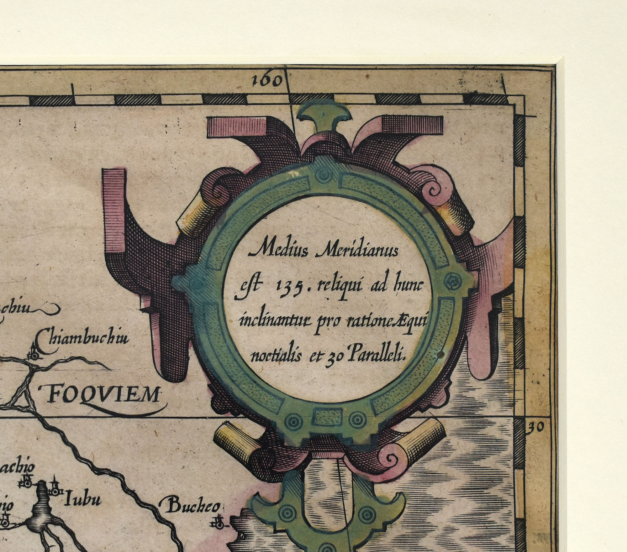
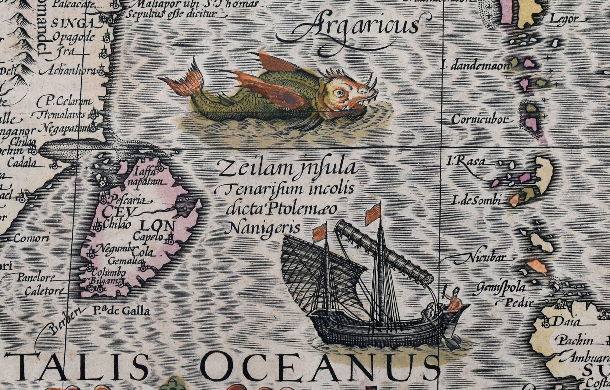
Zu den dekorativen Details der Karte gehören ein großes Seeungeheuer, ein europäisches Schiff und eine orientalische Dschunke, Titelkartusche und Maßstabkartuschen. Blatt im einfachen Holzrahmen hinter Glas/Passepartout gerahmt. Maße Rahmen: 52,0 x 65,0 cm. Maße Abbildung: 35,0 x 38,5 cm. Blatt wenig gedunkelt. Insgesamt sehr gutes, dekoratives Exemplar.
An early hand-colored map (featuring outline and area coloring) depicting Further India (Mainland Southeast Asia) and the East Indies, including the Philippines, parts of Indonesia, the region between India and South China (showing the Pearl River estuary, Canton, and Formosa), the entire Malay Peninsula, parts of Sumatra and Borneo, and Indochina (Thailand, Vietnam, Cambodia). From the Mercator-Hondius Atlas, published by Jodocus Hondius in Amsterdam starting in 1606.
One unusual feature of this map is the division of the southern Malay Peninsula into two halves; the southern section is depicted as an island lying south of Malacca, separated from the rest of the peninsula by a channel running northeast. Another unusual feature is the mythical Lake Chiamay (spelled „Chiamai“ here), from which five rivers originate.
Decorative details include a large sea monster, a European ship, an Oriental junk, a title cartouche, and scale cartouches. The map is framed in a simple wooden frame with glass and a mat. Frame dimensions: 52.0 x 65.0 cm. Image dimensions: 35.0 x 38.5 cm. The sheet shows slight darkening. Overall, a very fine, decorative example.
- Bestellnummer: 62922BB
- Kategorie: Kunst: Landkarten / Stadtansichten
- Tags: Asien / Asia · China / china · Indonesien / Indonesia · Kartographie / cartography, mapping · Kupferstich / copper engraving / etching · Landkarten / Karten / maps / cards